
ONLINE COURSE – Using Google Earth Engine in Ecological Studies (GEEE01) This course will be delivered live
9 December 2024 - 13 December 2024
£480.00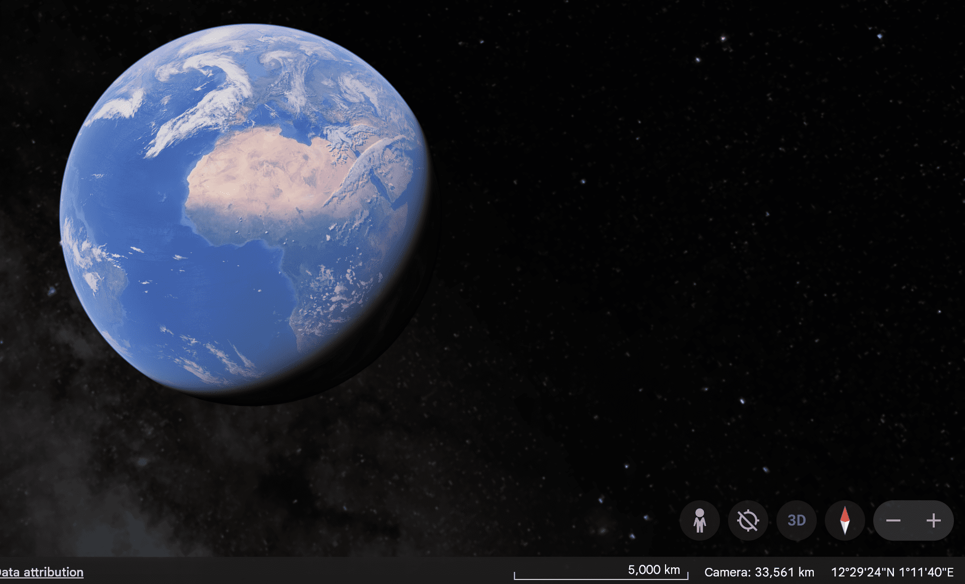
Event Date
Monday, December 9th, 2024
Course Format
This is a ‘LIVE COURSE’ – the instructor will be delivering lectures and coaching attendees through the accompanying computer practical’s via video link, a good internet connection is essential.
Time Zone
TIME ZONE – Western European Time (Portugal local time) – however all sessions will be recorded and made available allowing attendees from different time zones to follow.
Please email oliverhooker@prstatistics.com for full details or to discuss how we can accommodate you).
About This Course
Google Earth Engine (GEE) is a cloud computing platform for processing satellite imagery and other geospatial and observational data. GEE is currently the most complete and efficient platform for performing remote sensing analysis, as it provides access to a large database of satellite imagery and the computational power needed to analyse these images. While other remote sensing programs require the user to have sufficient space and computing power available, all data and processes in GEE are done in the cloud through Google's infrastructure. GEE provides a code editor that works with JavaScript and Python. GEE is the future of remote sensing.
By the end of the course, participants should:
Know the catalogue of spatial datasets provided by GEE.
Know the most important satellite sensors for environmental studies in GEE.
Know how to get remote sensing products from GEE.
Process and develop new remote sensing (sub-)products in GEE.
Classify satellite imagery in GEE.
Perform different types of spatial analyses in satellite imagery in GEE.
Intended Audiences
The target audience for this training is students, researchers, technicians, teachers, or other
professionals who work in the areas of remote sensing, environment, geo-informatics, geomatics,
geospatial engineering, biology, ecology, and biogeography.
Venue
Delivered remotely
Course Details
Time Zone – Western European Time
Availability – 25 Places
Duration – 5 days
Contact hours – Approx. 35 hours
ECT’s – Equal to 3 ECT’s
Language – English
Teaching Format
The topics will be presented and discussed in the theoretical classes to stimulate the interest of the
participants and to provide the set of knowledge considered necessary and relevant for a complete
understanding of the Google Earth Engine platform. In the practical classes, participants are invited
to think about and solve a set of problems to consolidate the knowledge acquired in the theoretical
lectures. The practical work proposed on the computer aims to train students in solving a set of
typical remote sensing problems related to the topics of the course program. The objective is for
participants to obtain the necessary tools that will allow them to use Google Earth Engine and to
deepen their knowledge autonomously. No data will be provided to the participants because all the
necessary data are stored in GEE.
Assumed quantitative knowledge
Solid knowledge of Geographical Information Systems and Remote Sensing is necessary. This course will suppose the attendees to know how to analyse remote sensing data.
Assumed computer background
No programming experience in JavaScript or Python will be necessary, although having programming knowledge will be extremely useful. However, this is not a course on programming. We will not teach JavaScript or Python but provide the necessary scripts to run analyses in GEE.
Equipment and software requirements
A laptop/personal computer, a list of software you need to install will be sent the week before the course starts.
Cancellations are accepted up to 28 days before the course start date subject to a 25% cancellation fee. Cancellations later than this may be considered, contact oliverhooker@prstatistics.com. Failure to attend will result in the full cost of the course being charged. In the unfortunate event that a course is cancelled due to unforeseen circumstances a full refund of the course fees will be credited.
If you are unsure about course suitability, please get in touch by email to find out more oliverhooker@prstatistics.com
COURSE PROGRAMME
Monday 9th
Classes from 13:00 to 18:00
Introduction to Google Earth Engine:
o Understand the fundamentals of how Google Earth Engine operates
o Visualize geospatial information in GEE
o Know the catalogue of the most important satellite images in the environmental area
o Build the first scripts in GEE and how to run them
o GEE related platforms
Tuesday 10th
Classes from 13:00 to 18:00
Introduction to remote sensing products and analyses in Google Earth Engine:
o Select, visualize and access the metadata of satellite image data series (e.g., MODIS, Landsat, Sentinel)
o Filter the data by spatial and temporal extents
o Aggregate data over time, space and bands using reducer functions
o Build image composites and mosaics
o Conduct cloud masking operations
o Geospatial computations and operations (e.g., obtain terrain products from DEMs and calculate spectral indexes)
o Import spatial data as Assets
Wednesday11th
Classes from 13:00 to 18:00
Process, classify and analyse multispectral images:
o Quality assessment of satellite images
o Learn the image classification algorithms available in GEE
o Perform unsupervised classifications
o Photo-interpretation of satellite images and build datasets of training areas (regions of interest)
o Conduct spectral separability analyses
o Perform supervised classifications
o Evaluate final image classifications
o Export outputs to Google Drive
Thursday 12th
Classes from 13:00 to 18:00
Analyse time-series data and the temporal evolution of vegetation productivity and land use
o Calculate spectral indices
o Analyse available and ready-to-use products of vegetation productivity proxies and
LULC maps
o Build and export time-series plots (e.g., seasonality plots, anomaly analysis)
o Conduct non-parametric trend analyses using time-series data
o Time series modelling using linear regressions
o Export outputs to Google Drive
Friday 13th
Classes from 13:00 to 18:00
Learn advanced spatial modelling tools:
o Import species databases into GEE (vector data or tabular databases) as assets
o Search and import environmental variables for modelling procedures
o Correlation analyses of environmental variables
o Search information about modelling algorithms and classifiers available in GEE
o Visualize and calibrate ecological niche models (e.g. Maxent)
o Conduct modelling analyses and assess the predictive performance of the models
o Visualize model projections in GEE
o Export model outputs to Google Drive
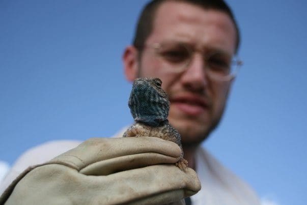
Dr. Neftali Sillero
He has more than 10 years’ experience working in ecological niche models. He has authored >70 peer reviewed publications and he is since 2007 Chairman of the Mapping Committee of the Societas Herpetologica Europaea, where he is the PI of the NA2RE project (www.na2re.ismai.pt), the New Atlas of Amphibians and Reptiles of Europe
Teaches
- Ecological Niche Modelling Using R (ENMR)
- Advanced Ecological Niche Modelling Using R (ANMR)
- GIS And Remote Sensing Analyses With R (GARM)
Teaches
- Ecological Niche Modelling Using R (ENMR)
- Advanced Ecological Niche Modelling Using R (ANMR)
- GIS And Remote Sensing Analyses With R (GARM)
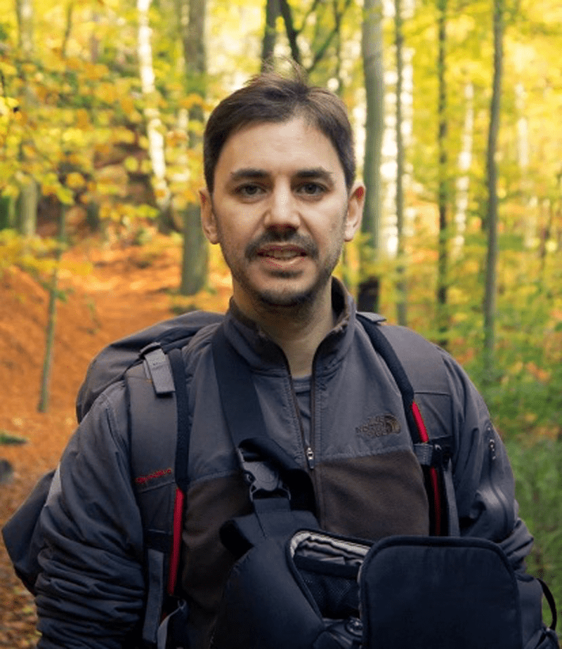
Dr. Salvador Arenas-Castro
Dr. Salvador Arenas-Castro is a broad-spectrum ecologist with interesting in different
integrative perspective of the fundamental ecology, macroecology and biogeography
with their both application and relationship to climate and land management. He is also
exploring other research sources in agroecology, forestry, spatial ecology, and
ecoinformatics, all addressed by explicitly considering the spatial component of
ecological processes, mainly applying spatially explicit modelling approaches, GIS and
remote sensing techniques. Please check his webpage for further information:
https://salvadorarenascastro.wordpress.com
Google Scholar: https://scholar.google.com/citations?user=UAYiB5UAAAAJ&hl=es&oi=ao
ResearchGate: https://www.researchgate.net/profile/Salvador-Arenas-Castro